Webcams Current Snow Report Avalanche Report Weather & Traffic
Wandern durch Bregenzerwälder Waldlandschaften (c) Alex Kaiser - Bregenzerwald Tourismus
Nature tips Vorarlberg

Forest landscapes

Forests not only provide habitats for countless organisms but also resources for humans.

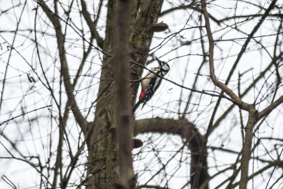
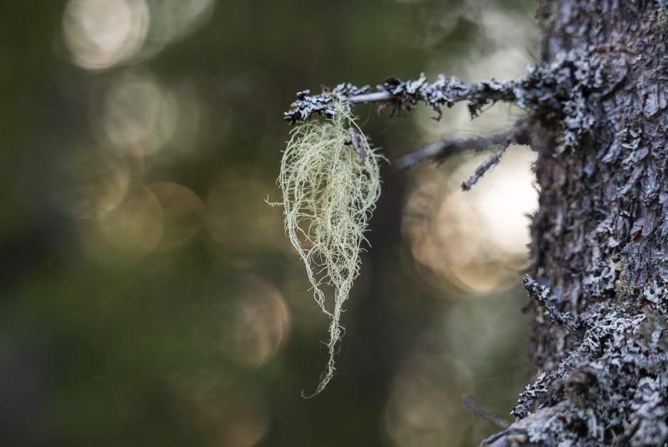
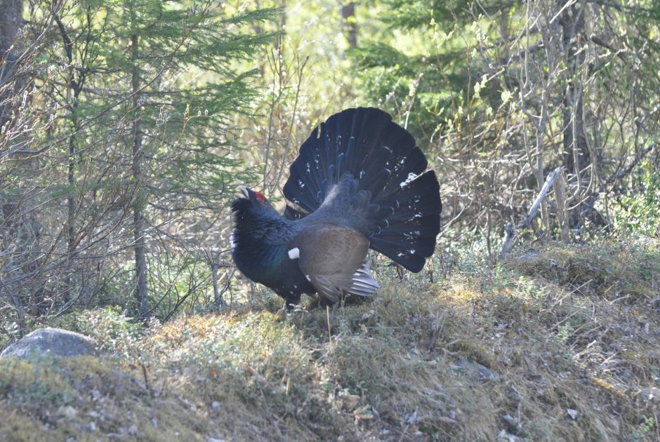
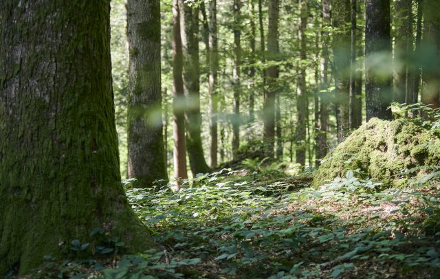
Vorarlberg is renowned for its impressive forest habitats. After all, one-third of the region is covered in woodland. A forest ecosystem is typically a complex community of organisms, distinguished by its unique vitality, stability, and diversity, all of which continuously undergo adaptation. It represents an interplay of soil, water, climate, location, and terrain, as well as numerous plant and animal species and microorganisms that create a “web of life.” These forests are not only home to familiar animals like red and roe deer, and foxes, but also to rare and protected species such as the Alpine Longhorn Beetle and the Capercaillie.

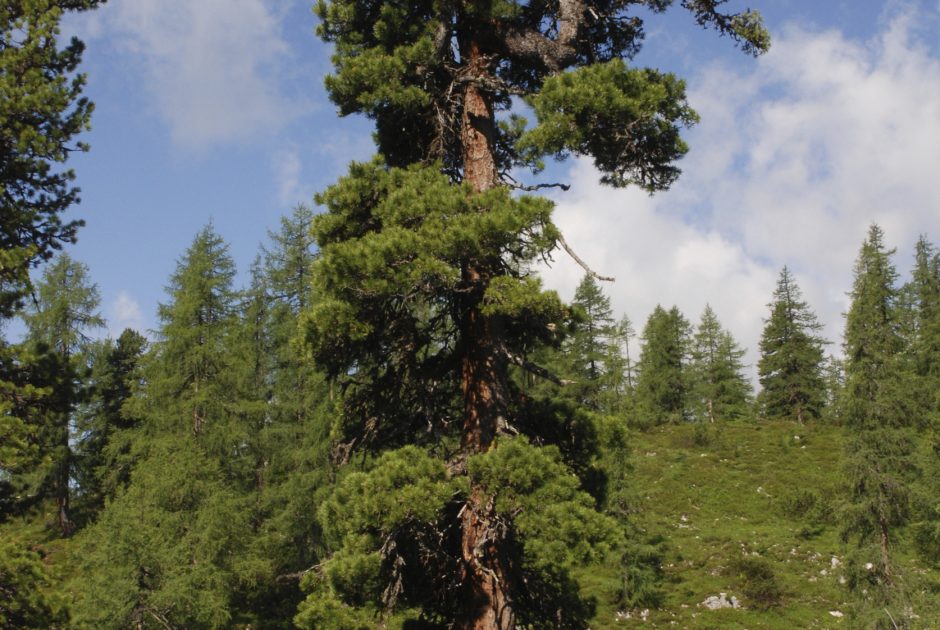
The forest landscape of Vorarlberg is extremely diverse and encompasses various types of woodlands. Many areas in Vorarlberg are characterised by a balanced mixed forest. In lower, sunny locations, beech mixed forests primarily dominate. In higher elevations, conifers such as spruce and silver fir are the main species found. In the valleys, Vorarlberg was once characterised by extensive floodplain forests. Nowadays, only isolated remnants of these ecologically valuable and highly dynamic floodplain ecosystems can be found along the rivers of Vorarlberg. A unique feature of the forest habitats in Vorarlberg is the “plenter forests,” which are predominantly found in the Lower Bregenzerwald. These sustainably managed forest structures provide an important habitat for numerous animal and plant species.

In terms of naturalness,

we examined 5,000 forests.

The best region of all
extends from the Arlberg to the Pfänder.

Prof. Georg Grabherr

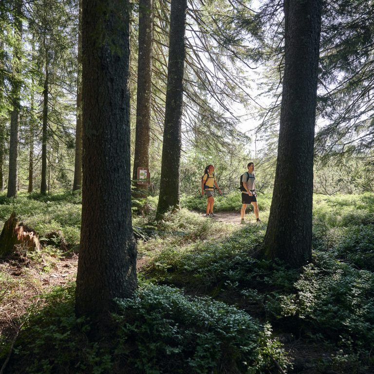
The complex network of trees, shrubs, plants, and animals creates a stable ecosystem that serves numerous functions. Forests not only provide habitats for countless organisms but also resources for humans. They help regulate the climate, protect against erosion and avalanches, and serve as important water reservoirs. At the same time, they are a valuable place for recreation for those living in or visiting the Vorarlberg region. Forest educational trails, nature reserves, and a variety of hiking paths invite visitors to experience the beauty and mystery of the woods.

Nature tips in the forest habitat
    • Wanderweg am Rotenberg

      Lingenau | themed Rotenberg forest trail

      The themed trail offers insights into how important continuous cover forests are and how…

      • 8.79 km

      • 2 h

      • leicht

      Difficulty: leicht
      Distance: 8.79 km
      Ascent: 270 m
      Descent: 270 m
      Duration: 2 h
      Deepest point: 685 m
      Highest point: 943 m
      Condition:

      Experience:

      Landscape:

      Lingenau | themed Rotenberg forest trail

      The themed trail offers insights into how important continuous cover forests are and how they’re…

      Start of tour

      Lingenau village square

      End of tour

      Lingenau village square

      Description

      How important are forests and what species of tree grow in the Bregenzerwald? The Rotenberg forest trail provides a good overview of the answer to these questions. It leads from Lingenau or Hittisau through a particularly species-rich mixed forest with silver fir (which are typical of the Bregenzerwald), beech, spruce, ash, maple, elm and linden trees. Nineteen stations along the way, including a forest room, a high moor and a…

      Best season
      JAN FEB MAR APR MAY JUN
      JUL AUG SEP OCT NOV DEC
      All route info
    • Blick auf die Kanisfluh

      Andelsbuch | Forest run

      Fairly demanding trail run with an elevation gain of approx. 250 metres from Andelsbuch…

      • 8.35 km

      • 1.5 h

      • Unbekannt

      Distance: 8.35 km
      Ascent: 254 m
      Descent: 254 m
      Duration: 1.5 h
      Deepest point: 615 m
      Highest point: 864 m

      Andelsbuch | Forest run

      Fairly demanding trail run with an elevation gain of approx. 250 metres from Andelsbuch to…

      Start of tour

      Village square Andelsbuch

      End of tour

      Village square Andelsbuch

      Description

      The trail run starts at the village square in Andelsbuch. Via the Bregenzerwald cycle path, you arrive at Andelsbuch football pitch, where the ascent to the Bezegg commences.

      After the Bezegg Sul, you come to a chapel: here, turn right towards Heugut. Via paths through the forest and across meadows, you come back down to Bersbuch to the upper dam. From there, you return via the cycling path to the…

      Best season
      JAN FEB MAR APR MAY JUN
      JUL AUG SEP OCT NOV DEC
      All route info
    • Schrofenpass

      Around the “Grüner”

      The tour starts in the idyllic plot Lechleiten. Underneath the Holzgauer Haus, a wide…

      • 5.91 km

      • 2.3 h

      • mittel

      Difficulty: mittel
      Distance: 5.91 km
      Ascent: 298 m
      Descent: 298 m
      Duration: 2.3 h
      Deepest point: 1495 m
      Highest point: 1792 m
      Condition:

      Experience:

      Landscape:

      Around the “Grüner”

      The tour starts in the idyllic plot Lechleiten. Underneath the Holzgauer Haus, a wide hiking…

      Start of tour

      Lechleiten

      End of tour

      Lechleiten

      Description

      Touring.

      Lechleiten – Schrofenpass – Salzbüheljoch – Lechleitner Alpe – Berggasthof Alpenrose/Lechleiten

      Best season
      JAN FEB MAR APR MAY JUN
      JUL AUG SEP OCT NOV DEC
      All route info
    • Höhlenpark Bezau

      Bezau | Höhlenpark – Baumgarten

      Wonderful hiking trail through the Höhlenpark to the Baumgarten summit station

      • 5.87 km

      • 3 h

      • mittel

      Difficulty: mittel
      Distance: 5.87 km
      Ascent: 1028 m
      Descent: 46 m
      Duration: 3 h
      Deepest point: 648 m
      Highest point: 1630 m
      Condition:

      Experience:

      Landscape:

      Bezau | Höhlenpark – Baumgarten

      Wonderful hiking trail through the Höhlenpark to the Baumgarten summit station

      Start of tour

      Town center Bezau

      End of tour

      Summit station Baumgarten

      Description

      Coming from the center of Bezau, in the direction of the cable car Bezau, turn left after the Hotel Sonne. Here is the beginning of the Höhlenpark, which consists of huge rockfall caves and is laid out as a nature trail. In the cave park, a small path branches off to the right towards the special roof. Over the Sattelalpe you reach on the paved forest way toward summit station…

      Best season
      JAN FEB MAR APR MAY JUN
      JUL AUG SEP OCT NOV DEC
      All route info
    • Seebachsee

      Big forest round tour Warth

      Start at the village square and cross the road. Passing the house Wallis, a…

      • 5.1 km

      • 1.6 h

      • leicht

      Difficulty: leicht
      Distance: 5.1 km
      Ascent: 202 m
      Descent: 202 m
      Duration: 1.6 h
      Deepest point: 1349 m
      Highest point: 1490 m
      Condition:

      Experience:

      Landscape:

      Big forest round tour Warth

      Start at the village square and cross the road. Passing the house Wallis, a path…

      Start of tour

      Warth village square

      End of tour

      Warth village square

      Description

      Touring.

      Village square Warth – House Wallis – Seebachsee – Höhi Wald – B 198 – Teschenberg – Village square Warth

      Best season
      JAN FEB MAR APR MAY JUN
      JUL AUG SEP OCT NOV DEC
      All route info
    • Älpele - Spullerwald - Tannlägeralpe - Zug

      Älpele – Spullerwald – Tannlägeralpe – Zug

      A quiet winter hike far away from the hustle and bustle of the snow-covered…

      • 10.33 km

      • 2.8 h

      • mittel

      Difficulty: mittel
      Distance: 10.33 km
      Ascent: 151 m
      Descent: 210 m
      Duration: 2.8 h
      Deepest point: 1509 m
      Highest point: 1675 m
      Condition:

      Experience:

      Landscape:

      Älpele – Spullerwald – Tannlägeralpe – Zug

      A quiet winter hike far away from the hustle and bustle of the snow-covered Zug…

      Start of tour

      Bus stop "Mautstelle" Zug

      End of tour

      Bus stop "Mautstelle" Zug

      Description

      From Älpele Inn the winter hiking trail starts to the Tannlägeralpe. Here, almost at the end of the valley, the path describes a loop and leads you out of the valley again. After you have made a few metres on the path you have already taken, the path branches off to the right at the level of the old hunting lodge. The path leads slightly uphill through the forest to…

      Best season
      JAN FEB MAR APR MAY JUN
      JUL AUG SEP OCT NOV DEC
      All route info
    • Memory-Spiel am Montikel

      Forest educational trail | Bludenz

      Educational forest walk above Bludenz.

      • 2.26 km

      • 1 h

      • leicht

      Difficulty: leicht
      Distance: 2.26 km
      Ascent: 109 m
      Descent: 208 m
      Duration: 1 h
      Deepest point: 564 m
      Highest point: 771 m
      Condition:

      Experience:

      Landscape:

      Forest educational trail | Bludenz

      Educational forest walk above Bludenz.

      Start of tour

      Wasserschloss (on the right hand side of the valley station Muttersbergbahn), Bludenz.

      End of tour

      Leisure pool VAL BLU, Bludenz

      Description

      The entrance to the forest experience trail is located directly at the moated castle in Hinterplärsch. During the walk, you will come across numerous boards where you can learn many facts about the forest, for example why the forest is vital for humans and animals, which trees are used for which products, the forest is also a workplace and much more. The forest nature trail ends at the forest memory…

      Best season
      JAN FEB MAR APR MAY JUN
      JUL AUG SEP OCT NOV DEC
      All route info
    • Floßfahren

      Forest Experience Trail | Marul

      Two adventure trails of different lengths in the Großes Walsertal Biosphere Park offer plenty…

      • 3.38 km

      • 1.5 h

      • leicht

      Difficulty: leicht
      Distance: 3.38 km
      Ascent: 129 m
      Descent: 129 m
      Duration: 1.5 h
      Deepest point: 905 m
      Highest point: 1028 m
      Condition:

      Experience:

      Landscape:

      Forest Experience Trail | Marul

      Two adventure trails of different lengths in the Großes Walsertal Biosphere Park offer plenty of…

      Start of tour

      Hiking car park Marul, Raggal

      End of tour

      Hiking car park Marul, Raggal

      Description

      Young and old discoverers walk together along the Marulbach stream, linger and dream, play in and with nature and get creative. There is definitely no room for boredom on the forest adventure trail in Raggal-Marul! Those interested in nature will also get their money’s worth on the forest adventure trail in Marul if you choose the large loop.

      Short version (map/gpx-data) – especially for families

      Length: 3.5 km… Best season
      JAN FEB MAR APR MAY JUN
      JUL AUG SEP OCT NOV DEC
      All route info

This may also be of interest