Webcams Current Snow Report Avalanche Report Weather & Traffic
Birdwatching Rheinspitz Johanna Kronberger-25 © Dietmar Denger / Vorarlberg Tourismus
Nature tips Vorarlberg

The water state

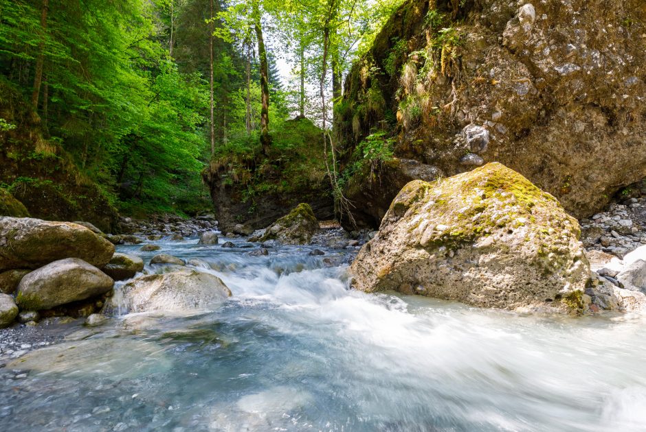
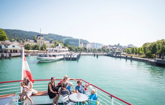
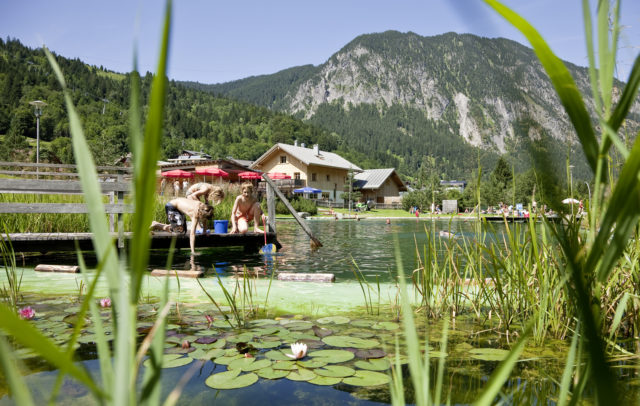
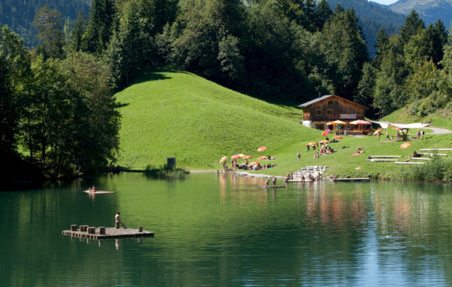
With 4,700 flowing waterways spanning a total length of over 5,000 km and Lake Constance as the third-largest inland body of water in Europe, Vorarlberg is truly a state shaped by water.

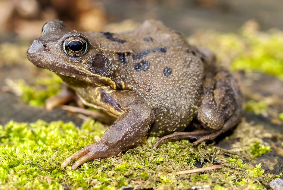
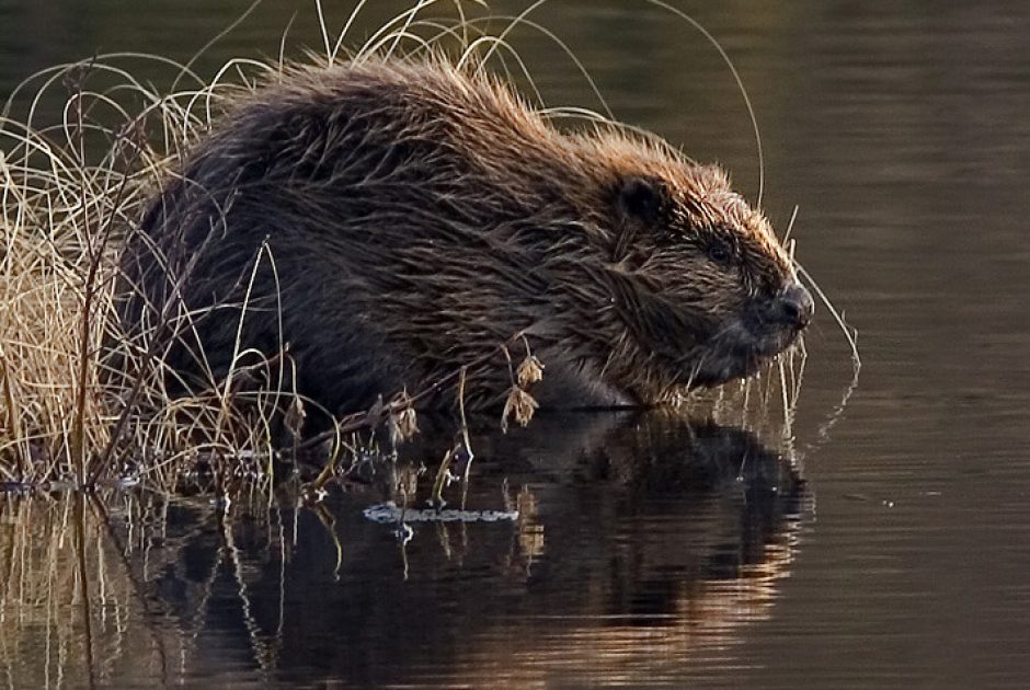
Despite the relatively small size of the Federal State, there are large differences in precipitation from north to south. Regions on the northern side of mountain ranges experience heavy rainfall exceeding 2,000 mm per year, while the drier regions in the south receive only about 1,000 mm annually. Yet, all of Vorarlberg is rich in water, crisscrossed by rivers that are vital not only for humans, but also for thousands of animal and plant species living in and around these waters.

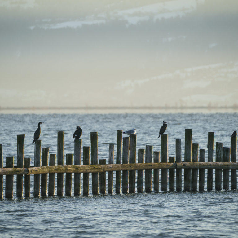
Lake Constance, with its diverse structures, provides habitats for numerous species, some of which are unique in Europe. Lake Constance and the Rhine river delta are important migratory corridors and offer breeding and wintering grounds for over 300 different bird species. Tens of thousands of waterfowl spend the winter here before heading north to Scandinavia or even as far as Siberia in the spring.

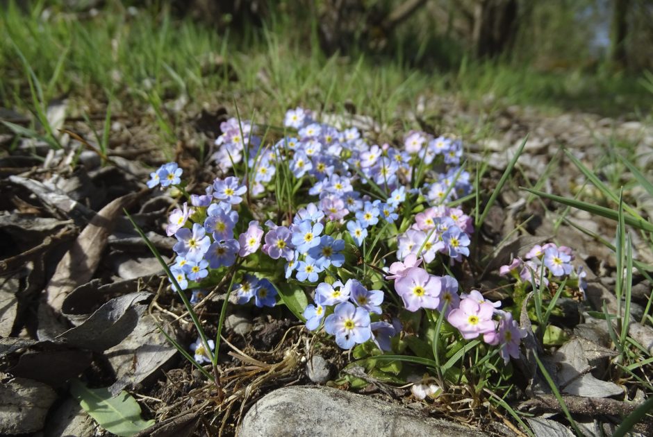
Since 1942, the Rhine river delta at Lake Constance has been a protected natural area and is now recognised as a Natura 2000 area, making it one of the most significant conservation sites in Europe. The lake shores, reed belts, alluvial forests, and litter meadows provide a habitat for over 600 different species of ferns and flowering plants. The Rhine river delta is also home to rare orchids, carnivorous plants, grasshoppers, dragonflies, and nearly 700 species of butterflies. Unique to this area is the Lake Constance Forget-Me-Not, which can only be found here. Its vibrant blue flowers can be admired along the Mehrerau lakeshore of Lake Constance in May. In addition to Lake Constance, Vorarlberg’s rivers, streams, numerous lakes, and many moors serve as vital aquatic habitats. Protecting and preserving these special environments is essential so that animals, plants, and humans alike can continue to benefit from these unique ecosystems.

Nature tips for the aquatic habitat
    • Der Alpenrhein mündet in den Bodensee

      Lagoon circular walk at the mouth of the Rhine

      • 4.7 km

      • 1.3 h

      • leicht

      Difficulty: leicht
      Distance: 4.7 km
      Ascent: 20 m
      Descent: 20 m
      Duration: 1.3 h
      Deepest point: 397 m
      Highest point: 397 m
      Condition:

      Experience:

      Landscape:

      Lagoon circular walk at the mouth of the Rhine

      Start of tour

      Fußach, In der Schanz

      End of tour

      Fußach, In der Schanz

      Best season
      JAN FEB MAR APR MAY JUN
      JUL AUG SEP OCT NOV DEC
      All route info
    • Zisterzienserabtei Mehrerau

      On the Mehrerau Lake Constance Trail

      ALONG THE SHORES OF LAKE CONSTANCE, THE TRAIL PASSES NOTEWORTHY BUILDINGS AND MAGNIFICENT SCENERY.…

      • 6.4 km

      • 1.7 h

      • leicht

      Difficulty: leicht
      Distance: 6.4 km
      Ascent: 10 m
      Descent: 10 m
      Duration: 1.7 h
      Deepest point: 394 m
      Highest point: 399 m
      Condition:

      On the Mehrerau Lake Constance Trail

      ALONG THE SHORES OF LAKE CONSTANCE, THE TRAIL PASSES NOTEWORTHY BUILDINGS AND MAGNIFICENT SCENERY. IN…

      Start of tour

      Bregenz festival hall

      End of tour

      Bregenzerach estuary

      Description

      ALONG THE SHORES OF LAKE CONSTANCE, THE TRAIL PASSES NOTEWORTHY BUILDINGS AND MAGNIFICENT SCENERY. IN THE WARM SEASON, THERE ARE PLENTY OF BEAUTIFUL SPOTS TO TAKE A DIP.

      Best season
      JAN FEB MAR APR MAY JUN
      JUL AUG SEP OCT NOV DEC
      All route info
    • Bürser Schlucht

      Bürser Schlucht | Bürs

      The Bürser Gorge offers extremely rare insights into the recent history of the earth…

      • 4.98 km

      • 2 h

      • mittel

      Difficulty: mittel
      Distance: 4.98 km
      Ascent: 219 m
      Descent: 217 m
      Duration: 2 h
      Deepest point: 567 m
      Highest point: 786 m
      Condition:

      Experience:

      Landscape:

      Bürser Schlucht | Bürs

      The Bürser Gorge offers extremely rare insights into the recent history of the earth and…

      Start of tour

      Bürs, village center

      End of tour

      Bürs, village center

      Description

      The path through the natural monument “Bürser Schlucht” takes about 2 hours via the “Kuhloch” back to Bürs.

      The “Bürser Konglomerat”, through which the Alvierbach has carved the front part of the Bürser Gorge since the end of the last ice age, has become a geological technical term because of the occurrence so typical here. This rock form mainly occurs in the southern side valleys of the Rätikon. The…

      Best season
      JAN FEB MAR APR MAY JUN
      JUL AUG SEP OCT NOV DEC
      All route info
    • Breitachklamm

      Breitachklamm natural wonder

      A unique nature experience for young and old and an experience for the whole…

      • 9.79 km

      • 3.5 h

      • mittel

      Difficulty: mittel
      Distance: 9.79 km
      Ascent: 512 m
      Descent: 412 m
      Duration: 3.5 h
      Deepest point: 825 m
      Highest point: 1090 m
      Condition:

      Experience:

      Landscape:

      Breitachklamm natural wonder

      A unique nature experience for young and old and an experience for the whole family.…

      Start of tour

      Riezlern

      End of tour

      Riezlern

      Description

      The gorge was made accessible in 1905 by the Tiefenbach pastor Johannes Schiebel. It is the deepest rock canyon in Central Europe and attracts over 300,000 visitors every year. It is one of the most impressive geotopes in Bavaria and one of the most popular attractions in the Allgäu. A visit is worthwhile in summer and winter, regardless of the weather, because the more water flows, the more impressive the…

      Best season
      JAN FEB MAR APR MAY JUN
      JUL AUG SEP OCT NOV DEC
      All route info
    • Die Engenlochschlucht in Hittisau

      Hittisau | water hiking trail

      It’s pleasantly cool on this hiking trail. It leads for the most part along…

      • 6.97 km

      • 2.3 h

      • leicht

      Difficulty: leicht
      Distance: 6.97 km
      Ascent: 80 m
      Descent: 80 m
      Duration: 2.3 h
      Deepest point: 744 m
      Highest point: 833 m
      Condition:

      Experience:

      Landscape:

      Hittisau | water hiking trail

      It’s pleasantly cool on this hiking trail. It leads for the most part along the…

      Start of tour

      Hittisau Dorfbrunnen

      End of tour

      Hittisau Dorfbrunnen

      Description

      The around 300-year-old Kommabrücke, the oldest covered wooden bridge in Vorarlberg, is one of the special sights to see along the way. Hikers walk along the Bolgenach river and reach the Engenlochschlucht gorge with its overhanging rock formations. The trail crosses the Ließenbach bridge to the water-powered Bartenstein sawmill. Panels provide insights into the various aspects and uses of water – from Grander revitalised water in the swimming pool to…

      Best season
      JAN FEB MAR APR MAY JUN
      JUL AUG SEP OCT NOV DEC
      All route info
    • Kessi-Schlucht

      Hike to water places | Sunday-Buchboden

      Beautiful hike to special water places in the biosphere park Grosses Walsertal: Natural monument…

      • 7.7 km

      • 2.5 h

      • leicht

      Difficulty: leicht
      Distance: 7.7 km
      Ascent: 100 m
      Descent: 236 m
      Duration: 2.5 h
      Deepest point: 835 m
      Highest point: 1038 m
      Condition:

      Experience:

      Landscape:

      Hike to water places | Sunday-Buchboden

      Beautiful hike to special water places in the biosphere park Grosses Walsertal: Natural monument Kessi-Gorge,…

      Start of tour

      Church, Sonntag-Buchboden

      End of tour

      Church, Sonntag-Buchboden

      Description

      The hike starts at the church in Sonntag-Buchboden. From there via the goods road down to the Lutz. Follow the path along the Lutz to the natural monument Kessi, a large gorge. From here a footpath leads into the Gaden valley to the alpine inn Bad Rothenbrunnen and the famous iron spring. Back you go past the water intake of the power plant and a tuff spring out of the…

      Best season
      JAN FEB MAR APR MAY JUN
      JUL AUG SEP OCT NOV DEC
      All route info
    • Blick auf Lingenau

      Lingenau | Through the Subersach gorge

      Tour from Lingenau to the Gschwendtobel, where a wooden bridge, the "Gschwendtobel bridge" crosses…

      • 7.63 km

      • 2.8 h

      • leicht

      Difficulty: leicht
      Distance: 7.63 km
      Ascent: 265 m
      Descent: 265 m
      Duration: 2.8 h
      Deepest point: 538 m
      Highest point: 734 m
      Condition:

      Lingenau | Through the Subersach gorge

      Tour from Lingenau to the Gschwendtobel, where a wooden bridge, the "Gschwendtobel bridge" crosses the…

      Start of tour

      Lingenau center of village

      End of tour

      Lingenau center of village

      Description

      The tour starts in Lingenau with a descent to the Gschwendtobel. On the “Gschwendtobelbridge”, which was planned by Alois Negrelli, you cross the Subersach. Following the ascent, you reach Großdorf, from where you hike back down into the gorge to the Drahtsteg. This is a wire bridge, which was in former times the only connections between Lingenau and Egg.

      Best season
      JAN FEB MAR APR MAY JUN
      JUL AUG SEP OCT NOV DEC
      All route info
    • Üble Schlucht

      Hike through the Üble Schlucht gorge in Laterns

      An impressive gorge hike in the Frutz river valley.

      • 3.06 km

      • 1.5 h

      • mittel

      Difficulty: mittel
      Distance: 3.06 km
      Ascent: 420 m
      Descent: 420 m
      Duration: 1.5 h
      Deepest point: 639 m
      Highest point: 928 m
      Condition:

      Experience:

      Hike through the Üble Schlucht gorge in Laterns

      An impressive gorge hike in the Frutz river valley.

      Description

      An impressive gorge hike in the Frutz river valley.

      Best season
      JAN FEB MAR APR MAY JUN
      JUL AUG SEP OCT NOV DEC
      All route info
    • Rundwanderung Götzis in die Schluchten der Eiszeit

      Götzis and the gorges of the Ice Age

      A hike into the past: across the Ur-Ill’s gorge created at the edges of…

      • 6.7 km

      • 2.5 h

      • leicht

      Difficulty: leicht
      Distance: 6.7 km
      Ascent: 250 m
      Descent: 250 m
      Duration: 2.5 h
      Deepest point: 411 m
      Highest point: 632 m
      Condition:

      Experience:

      Landscape:

      Götzis and the gorges of the Ice Age

      A hike into the past: across the Ur-Ill’s gorge created at the edges of the…

      Start of tour

      Parking place Kobel

      End of tour

      Parking place Kobel

      Description

      A hike into the past: across the Ur-Ill’s gorge created at the edges of the ice and the Fallenkobelweg to the Örflaschlucht (gorge). Back up to Rütte to return along the Lusbühlweg to the starting point, the Kobel.

      Best season
      JAN FEB MAR APR MAY JUN
      JUL AUG SEP OCT NOV DEC
      All route info
    • Grüne Insel Tour

      Green island tour

      Immerse yourself in the unique beauty of natural bathing lakes, the River Ach’s flood…

      • 28.77 km

      • 2 h

      • leicht

      Difficulty: leicht
      Distance: 28.77 km
      Ascent: 20 m
      Descent: 20 m
      Duration: 2 h
      Deepest point: 394 m
      Highest point: 416 m
      Condition:

      Experience:

      Landscape:

      Green island tour

      Immerse yourself in the unique beauty of natural bathing lakes, the River Ach’s flood plains…

      Start of tour

      Rheinbrücke Fußach - Hard

      End of tour

      Rheinbrücke Fußach - Hard

      Description

      Immerse yourself in the unique beauty of natural bathing lakes, the River Ach’s flood plains and moorlands

      Best season
      JAN FEB MAR APR MAY JUN
      JUL AUG SEP OCT NOV DEC
      All route info
    • Schwarzwasserbach

      Along the Schwarzwasserbach

      Walser Omgang hike - follow the course of life - summer. A regenerating half-day…

      • 12.18 km

      • 3.5 h

      • mittel

      Difficulty: mittel
      Distance: 12.18 km
      Ascent: 102 m
      Descent: 397 m
      Duration: 3.5 h
      Deepest point: 907 m
      Highest point: 1304 m
      Condition:

      Experience:

      Landscape:

      Along the Schwarzwasserbach

      Walser Omgang hike - follow the course of life - summer. A regenerating half-day tour

      Start of tour

      Hirschegg

      End of tour

      Riezlern

      Description

      On this route you can experience water – the elexir of life – with all its spirit and facets. Waterfalls, water filled rock holes, the natural bridge and finally the entrance to Breitachklamm gorge are the highlights of the tour.

      Best season
      JAN FEB MAR APR MAY JUN
      JUL AUG SEP OCT NOV DEC
      All route info

This may also be of interest