Webcams Current Snow Report Avalanche Report Weather & Traffic
Blumenwiese, Wiesenmeisterschaft, Alpe Streichbrunnen, Hittisau (c) Dietmar Denger / Vorarlberg Tourismus
Nature tips Vorarlberg

Meadow habitat

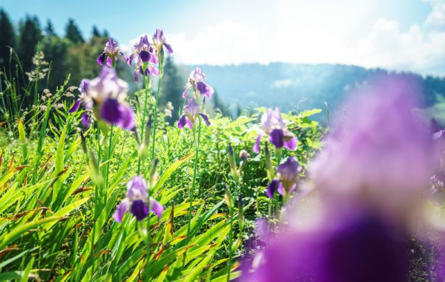
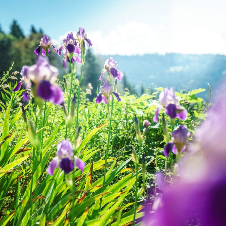
Vorarlberg is defined by a diverse landscape featuring numerous meadows that serve essential ecological functions and provide recreational spaces for people.

The abundance of meadows and pastures in the region is largely the result of human activity. Without this influence, forests would dominate much of the area, with meadows occurring only above the tree line or in places where forests cannot grow, such as moors or dynamic floodplains. The history of settlement is closely linked to the development of grasslands. Meadows have been cultivated for centuries, primarily to store hay for livestock during the winter, leading to the creation of the first hay meadows. Evidence of this development dates back to the early Middle Ages.

However, it is not just human activity that has shaped the landscape. The last ice ages also played a crucial role. Glacial deposits and moraine remnants now form the soil in the region’s slopes and valleys, significantly influencing the present-day landscape. The slopes, in particular, are highly fertile, contributing to the rich diversity of species and meadows in Vorarlberg.

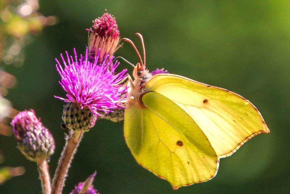
These varied meadows serve as habitats not only for plants but also for numerous animal species. Depending on how they are managed and the specific site conditions, different plant communities thrive in these meadows, providing essential conditions for life for various animals, especially insects. Pollinators such as honey bees, solitary bees, bumblebees, and butterflies rely on herbs and flowers as vital food sources.

Thus, biodiversity thrives in vibrant meadows!

In areas where little to no fertiliser is used, meaning nutrients are limited, flowering plants can flourish as they face less competition from grasses. Meadows managed extensively are typically mown only once a year, and only after the plants have flowered. This allows the plants sufficient time to produce seeds for reproduction. Such meadows boast an exceptional diversity of flowers and insects. Found at higher altitudes in Vorarlberg, these mountain meadows are among the most species-rich ecosystems in the world, surpassing even comparable areas of tropical rainforest in species count. This richness isn’t limited to plants; the more flowers there are, the more meadow inhabitants thrive.

Nature tips in the meadow habitat
    • Weg zur Weißenbachalpe

      Alpine Pasture Hike l Schnepfau – Weißenbachtal – Au

      Hike from Schnepfau through the Weißenbachtal to the Weißenbachalpe with the beautiful view to…

      • 14.19 km

      • 5.3 h

      • mittel

      Difficulty: mittel
      Distance: 14.19 km
      Ascent: 855 m
      Descent: 825 m
      Duration: 5.3 h
      Deepest point: 737 m
      Highest point: 1528 m
      Condition:

      Experience:

      Landscape:

      Alpine Pasture Hike l Schnepfau – Weißenbachtal – Au

      Hike from Schnepfau through the Weißenbachtal to the Weißenbachalpe with the beautiful view to the…

      Start of tour

      Schnepfau, Dorfmitte

      End of tour

      Au, Kirche

      Description

      Hike from Schnepfau through the Weißenbachtal to the Weißenbachalpe with the beautiful view to the nearby Bregenz Forest. From the Sattelalpe you have a stunning 360° degree view. The trail continues through forests and across meadows. The last downhill part before you reach your final destination in Au is a bit steeper.

      Best season
      JAN FEB MAR APR MAY JUN
      JUL AUG SEP OCT NOV DEC
      All route info
    • Ausblick vom Hengstig

      Alpine Pasture Hike l Sibratsgfäll – Krähenberg

      Very peaceful hike that includes the elements of water, forests and meadows. Easy and…

      • 10.5 km

      • 3.3 h

      • leicht

      Difficulty: leicht
      Distance: 10.5 km
      Ascent: 322 m
      Descent: 322 m
      Duration: 3.3 h
      Deepest point: 837 m
      Highest point: 1078 m
      Condition:

      Experience:

      Landscape:

      Alpine Pasture Hike l Sibratsgfäll – Krähenberg

      Very peaceful hike that includes the elements of water, forests and meadows. Easy and family-friendly…

      Start of tour

      Parking lot near Krähenberg cableway to the Rubach

      End of tour

      Parking lot near Krähenberg cableway

      Description

      Very peaceful hike that includes the elements of water, forests and meadows. Easy and family-friendly hike. Only the passage across the Hengstig is a bit more technically demanding.

      Best season
      JAN FEB MAR APR MAY JUN
      JUL AUG SEP OCT NOV DEC
      All route info
    • Blick von der Steffisalpbahn auf Warth

      Alpine Pasture Hike l Warth-Schröcken – around the Karhorn

      Hike on the footsteps of the Walser from Warth to Bürstegg, the highest situated…

      • 13.13 km

      • 4.3 h

      • leicht

      Difficulty: leicht
      Distance: 13.13 km
      Ascent: 443 m
      Descent: 664 m
      Duration: 4.3 h
      Deepest point: 1564 m
      Highest point: 1947 m
      Condition:

      Experience:

      Landscape:

      Alpine Pasture Hike l Warth-Schröcken – around the Karhorn

      Hike on the footsteps of the Walser from Warth to Bürstegg, the highest situated Walser…

      Start of tour

      Warth, valley station Steffisalp-Express

      End of tour

      Schröcken-Warth, Hochtannbergpass

      Description

      Hike on the footsteps of the Walser from Warth to Bürstegg, the highest situated Walser settlement in Vorarlberg. The trail leads across the Auenfeld to the origin of the Bregenzerache and to the Alpine Pasture Untere Auenfeldalpe and Batzenalpe (that also houses an alpine museum). The next destination is the beautiful natural site of the Körbersee. You cross the height of the Hochtannbergpass and reach the Kalbelesee and the end…

      Best season
      JAN FEB MAR APR MAY JUN
      JUL AUG SEP OCT NOV DEC
      All route info
    • Argenschlucht

      Au-Schoppernau | delicate plants and wooden huts

      Au-Jaghausen (parish church, 791m) - Auer Ried (1,050 m) nature trail (via Argenbachtal) -…

      • 6.99 km

      • 2.8 h

      • leicht

      Difficulty: leicht
      Distance: 6.99 km
      Ascent: 365 m
      Descent: 369 m
      Duration: 2.8 h
      Deepest point: 789 m
      Highest point: 1048 m
      Condition:

      Experience:

      Landscape:

      Au-Schoppernau | delicate plants and wooden huts

      Au-Jaghausen (parish church, 791m) - Auer Ried (1,050 m) nature trail (via Argenbachtal) - Jaghausen…

      Start of tour

      Au parish church

      End of tour

      Au parish church

      Description

      The path leads you from the Argen gorge into the Auer Ried nature reserve. The power of water, geology, nature conservation, ancient cultivated landscape and the mighty Kanisfluh provide the subjects and the stations of the hike for those interested in nature. Over 50 rare species of plant thrive in the Auer Ried. Watercourses, gallery forests and damp biotopes run through the humid rough pastures and upland hay meadows with…

      Best season
      JAN FEB MAR APR MAY JUN
      JUL AUG SEP OCT NOV DEC
      All route info
    • Den Kühen ganz nah

      Children’s hike: Hiking between cow & Co.

      This hike is a real insider tip that only exists in summer. On the…

      • 6.01 km

      • 1.9 h

      • leicht

      Difficulty: leicht
      Distance: 6.01 km
      Ascent: 186 m
      Descent: 245 m
      Duration: 1.9 h
      Deepest point: 1008 m
      Highest point: 1204 m
      Condition:

      Experience:

      Landscape:

      Children’s hike: Hiking between cow & Co.

      This hike is a real insider tip that only exists in summer. On the green…

      Start of tour

      Hirschegg

      End of tour

      Riezlern

      Description

      Let’s start, for example, at the Panoramaweg above Hirschegg. Here you can soon see some horses grazing in the paddock. If you cross the Schwarzesertalstrasse after the Parsenn lift, you will reach a nice footpath, the Brennbodenweg. From here follow the signs to the natural bridge, where you can see lots of sheep, goats and cows. From the starting point, you can count on about 1 ½ hours including “observation…

      Best season
      JAN FEB MAR APR MAY JUN
      JUL AUG SEP OCT NOV DEC
      All route info
    • Ausblick auf die gegenüberliegende Talseite, auf den Walserkamm

      Wiesweg | Raggal – Ludescherberg

      An easy hike for the whole family across flower-strewn meadows (especially in early summer)…

      • 4.41 km

      • 1.3 h

      • leicht

      Difficulty: leicht
      Distance: 4.41 km
      Ascent: 98 m
      Descent: 95 m
      Duration: 1.3 h
      Deepest point: 1011 m
      Highest point: 1109 m
      Condition:

      Experience:

      Landscape:

      Wiesweg | Raggal – Ludescherberg

      An easy hike for the whole family across flower-strewn meadows (especially in early summer) and…

      Description

      This hike starts in Raggal, leads past the church up to the Lärchenhof. After a short climb, the meadow hiking trail leads almost level out to Ludescherberg. From Ludescherberg, return via the same path or alternatively on the asphalt road, past the sports field, back to Raggal to the starting point. In spring and early summer, the area is an insider tip for all lovers of colourful meadow diversity.

      Best season
      JAN FEB MAR APR MAY JUN
      JUL AUG SEP OCT NOV DEC
      All route info
    • Über Wiesenweg Richtung Ludescherberg

      Wiesweg via Labom | Raggal

      Hike for the whole family along the Wiesweg to Grüneck on the Ludescherberg with…

      • 5.71 km

      • 1.8 h

      • leicht

      Difficulty: leicht
      Distance: 5.71 km
      Ascent: 155 m
      Descent: 154 m
      Duration: 1.8 h
      Deepest point: 1013 m
      Highest point: 1168 m
      Condition:

      Experience:

      Landscape:

      Wiesweg via Labom | Raggal

      Hike for the whole family along the Wiesweg to Grüneck on the Ludescherberg with magnificent…

      Description

      From the Raggal church, the path between house no. 68b and the church wall leads slightly uphill past the vicarage to the Rapiert estate road. There you cross the road and walk along the Manatöbele estate road to the “Lärchenhof”. From here you reach the meadow path, which leads through a small piece of forest past hay barns, litter and meagre meadows. From time to time, the path can be…

      Best season
      JAN FEB MAR APR MAY JUN
      JUL AUG SEP OCT NOV DEC
      All route info
    • Irisblüte

      Nofels Matschels

      Eine ebene Strecke mit unzähligen Varianten für jedermann.

      • 5.8 km

      • 0.8 h

      • leicht

      Difficulty: leicht
      Distance: 5.8 km
      Duration: 0.8 h
      Deepest point: 440 m
      Highest point: 440 m
      Condition:

      Experience:

      Landscape:

      Nofels Matschels

      Eine ebene Strecke mit unzähligen Varianten für jedermann.

      Description

      Eine ebene Strecke mit unzähligen Varianten für jedermann.

      Best season
      JAN FEB MAR APR MAY JUN
      JUL AUG SEP OCT NOV DEC
      All route info
    • Wandergebiet Egg-Schetteregg

      Egg | Around the Winterstaude

      Difference in altitude: 1,050 m

      Egg - Ebenwald - Langeneggwald - Schetteregg - Eggatsbergvorsäß -…

      • 42.89 km

      • 4.8 h

      • mittel

      Difficulty: mittel
      Distance: 42.89 km
      Ascent: 1070 m
      Descent: 1145 m
      Duration: 4.8 h
      Deepest point: 554 m
      Highest point: 1096 m
      Condition:

      Experience:

      Landscape:

      Egg | Around the Winterstaude

      Difference in altitude: 1,050 m

      Egg - Ebenwald - Langeneggwald - Schetteregg - Eggatsbergvorsäß - Hintere…

      Start of tour

      Egg Impulszentrum

      End of tour

      Egg Impulszentrum

      Description

      This tour for experienced cyclists takes you along the foot of the Winterstaude (1,877 m). The route commences with short, steep ascents to Schetteregg. From here, you cycle uphill through the mountain pasture settlements of Eggatsberg and Hammeratsberg, then you go down through the wood as far as Leugehralpe and across the wildly romantic gorge of the Subersach. Gently undulating forest paths take you as far as Schönenbach. Tip: Gasthaus…

      Best season
      JAN FEB MAR APR MAY JUN
      JUL AUG SEP OCT NOV DEC
      All route info
    • Im Gamperdonatal - Alpsiedlung Nenzinger Himmel mit Panülerkopf im Hintergrund

      Alpine Pasture Hike l Nenzinger Himmel

      The Nenzinger Himmel («Himmel» means heaven) not only provides an impressive mountain landscape, but…

      • 10.09 km

      • 4.2 h

      • mittel

      Difficulty: mittel
      Distance: 10.09 km
      Ascent: 664 m
      Descent: 523 m
      Duration: 4.2 h
      Deepest point: 1340 m
      Highest point: 1780 m
      Condition:

      Experience:

      Landscape:

      Alpine Pasture Hike l Nenzinger Himmel

      The Nenzinger Himmel («Himmel» means heaven) not only provides an impressive mountain landscape, but also…

      Start of tour

      Nenzing, Nenzinger Himmel

      End of tour

      Nenzinger Himmel

      Description

      The Nenzinger Himmel («Himmel» means heaven) not only provides an impressive mountain landscape, but also numerous alpine pastures. The track leads from the beautiful isolated alpine settlement up to breathtaking heights. Step by step closer to heaven.

      Best season
      JAN FEB MAR APR MAY JUN
      JUL AUG SEP OCT NOV DEC
      All route info
    • Unterwegs am Blumen-Wanderlehrpfad

      Flower Hiking Trail | Faschina

      A special feature in the Biosphärenpark Grosses Walsertal is the extraordinary plant diversity on…

      • 1.22 km

      • 0.8 h

      • mittel

      Difficulty: mittel
      Distance: 1.22 km
      Ascent: 290 m
      Descent: 150 m
      Duration: 0.8 h
      Deepest point: 1768 m
      Highest point: 1884 m
      Condition:

      Experience:

      Landscape:

      Flower Hiking Trail | Faschina

      A special feature in the Biosphärenpark Grosses Walsertal is the extraordinary plant diversity on the…

      Start of tour

      Stafelalp cable way middle station, Faschina

      End of tour

      Stafelalp cable way mountain station, Faschina

      Description

      Between the middle station (1,780 m) and the top station (1,865 m) of the Stafelalpbahn cable car, a unique alpine flora awaits nature lovers. As an example from more than 150 plant species, the “Türkenbund”, for example, can be mentioned here.

      Up here, at this wonderful spot with panoramic views, the Faschina cable cars have built the popular flower hiking nature trail, where you will find illustrations of the…

      Best season
      JAN FEB MAR APR MAY JUN
      JUL AUG SEP OCT NOV DEC
      All route info
    • Der Alpenrhein mündet in den Bodensee

      Lagoon circular walk at the mouth of the Rhine

      • 4.7 km

      • 1.3 h

      • leicht

      Difficulty: leicht
      Distance: 4.7 km
      Ascent: 20 m
      Descent: 20 m
      Duration: 1.3 h
      Deepest point: 397 m
      Highest point: 397 m
      Condition:

      Experience:

      Landscape:

      Lagoon circular walk at the mouth of the Rhine

      Start of tour

      Fußach, In der Schanz

      End of tour

      Fußach, In der Schanz

      Best season
      JAN FEB MAR APR MAY JUN
      JUL AUG SEP OCT NOV DEC
      All route info

This may also be of interest