Trail Running | Trail Running
Lingenau | Travertine Trail
-
Höhenprofil
Dorfplatz - Fehren - Kränzen - Kleimath - Heselhalden - Quelltuff - Rain - Dorfplatz
Dorfplatz – Fehren – Kränzen – Kleimath – Heselhalden – Quelltuff – Rain – Dorfplatz
Presented by: Bregenzerwald
Author: Nadine Kießling -
Difficulty: schwer Condition: Altitude: Best season: JAN FEB MAR APR MAY JUN JUL AUG SEP OCT NOV DEC Equipment: gute, an die Witterungsverhältnisse angepasste Kleidung und Laufschuhe
-
Directions
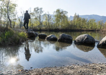
The Quelltuff with its unique lime stone terraces is a main attraction of Lingenau. On the trail you can enjoy this geological highlight running and at the same time, you will practice your skills in running stairs.
Start Overview board village center
Coordinates:
Geogr. 47.450496 N 9.920163 EDestination Overview board village center Waypoints
-
Public transportation:
Approach:
Route Planner


