Webcams Current Snow Report Avalanche Report Weather & Traffic
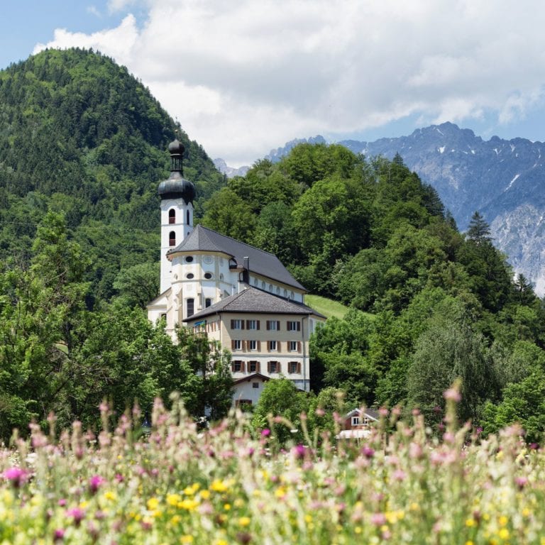
Blick auf die Tschaggunser Kirche,
Hike along the Ill river from Schruns to St. Anton

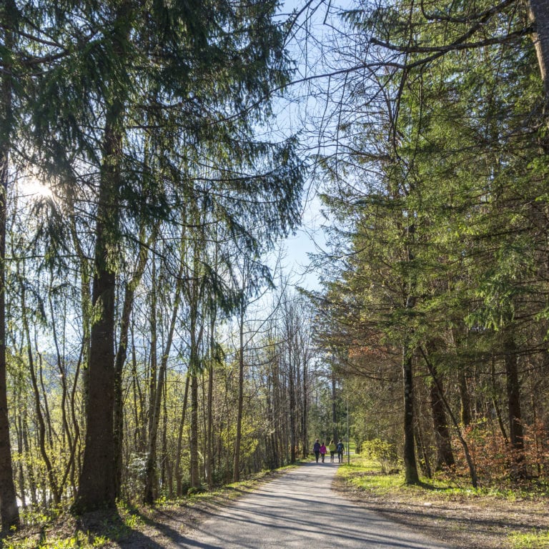
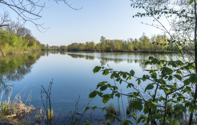
Spring in the alluvial forest by the river

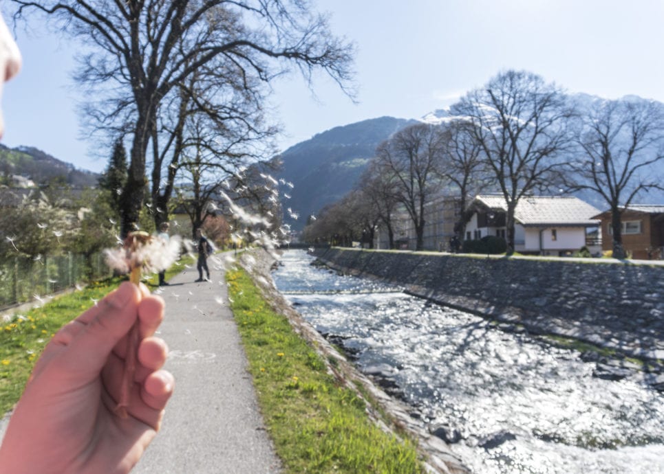
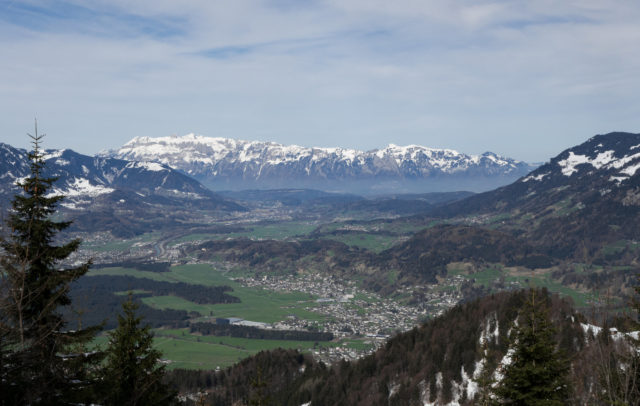
Though the surrounding mountains are still snow-capped, spring has already arrived in the valley. The first spring blossoms are sprouting, insects are humming through the air and songbirds start their concert when day breaks in the early hours. That’s a good time for a stroll through the alluvial forest along the Ill river from Schruns-Tschagguns to St. Anton im Montafon.

Montafon Illweg Fruehlingswanderung 11 (c) Vorarlberg Tourismus-Agnes Ammann
Montafon Illweg Fruehlingswanderung 4 (c) Vorarlberg Tourismus-Agnes Ammann

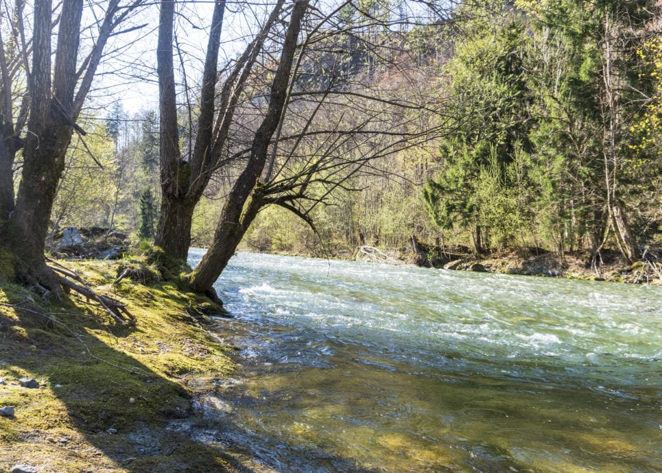
The alluvial forest is a special habitat that hosts many varieties in the heart of the settled valley. Willows, alders, beeches, maple, ash trees and other species line the river banks as the final remnants of the original extensive alluvial forest complex in the valley and hillside locations along the Ill. A unique geological feature of the river landscape is visible at Daleu and Vandans: the river bars are not made up of the silicate stone typical for the valley locations in Montafon, but primarily of limestone gravel from the Mustergielbach and Rellsbach streams, which join the Ill river here and transport the limestone from the Rätikon mountains into the valley.

The meadows at the estuaries are also home to several rare plant species. In spite the industry and construction along the Ill river, several natural oases have been preserved here. There is an astonishing variety of species on the gravel banks and with a little luck, you may spot a water ouzel with the striking white patch on its breast, or a bright yellow grey wagtail beside the running water.

Hiking route with a route description and map (in German)
  • Litzpromenade Schruns mit Zimba

    Montafoner Wassersinfonie – Spaziergang von Schruns nach St. Anton…

    • 6.4 km

    • 1.5 h

    • leicht

    Difficulty: leicht
    Distance: 6.4 km
    Ascent: 9 m
    Descent: 68 m
    Duration: 1.5 h
    Deepest point: 620 m
    Highest point: 684 m
    Condition:

    Experience:

    Landscape:

    Montafoner Wassersinfonie – Spaziergang von Schruns nach St. Anton der Litz und Ill entlang

    Start of tour

    Schruns Bahnhof (680m)

    End of tour

    St. Anton im Montafon Bahnhof (630 m)

    Best season
    JAN FEB MAR APR MAY JUN
    JUL AUG SEP OCT NOV DEC
    All route info
Montafon Illweg Fruehlingswanderung Litzdamm 9 (c) Vorarlberg Tourismus-Agnes Ammann
Illweg Vandans
Montafon Illweg Fruehlingswanderung Baggersee Roter Stein Blueten 2 (c) Vorarlberg Tourismus-Agnes Ammann
Litzdamm Frühling
Montafon Illweg Fruehlingswanderung Muendung Ill Litz (c) Vorarlberg Tourismus-Agnes Ammann

Hike along the Ill river from Schruns to St.Anton.

The alluvial forest is a special habitat that hosts many varieties in the heart of the settled valley.

The first spring blossoms are sprouting, insects are humming through the air and songbirds start their concert when day breaks in the early hours.

Though the surrounding mountains are still snow-capped, spring has already arrived in the valley.

Here the river Litz merges with the river Ill in Schruns-Tschagguns.

Read also: