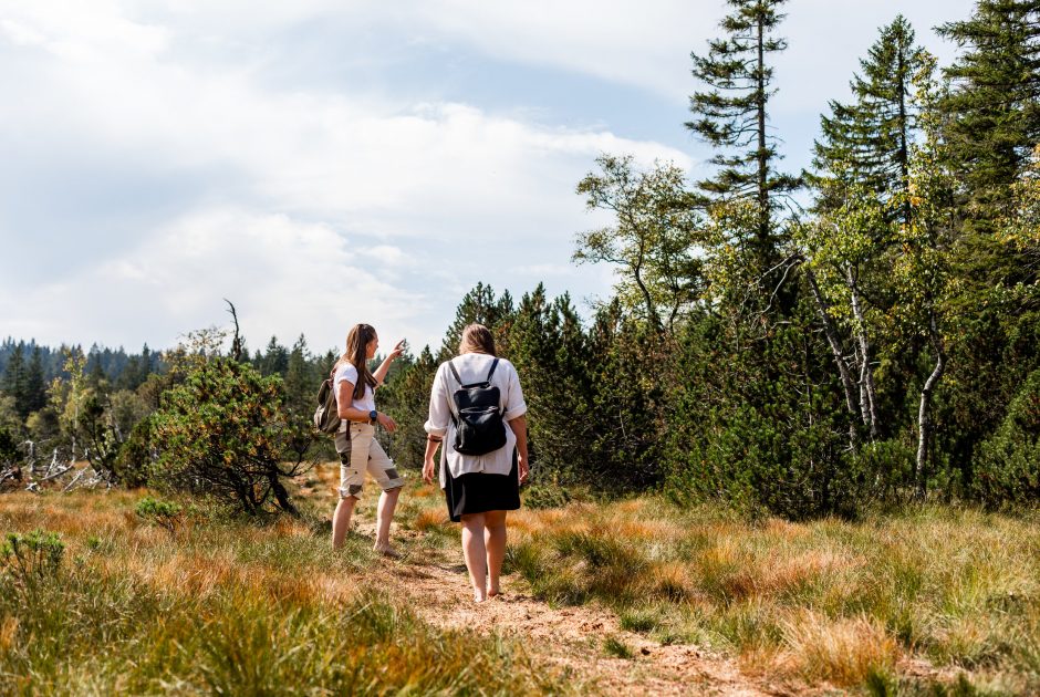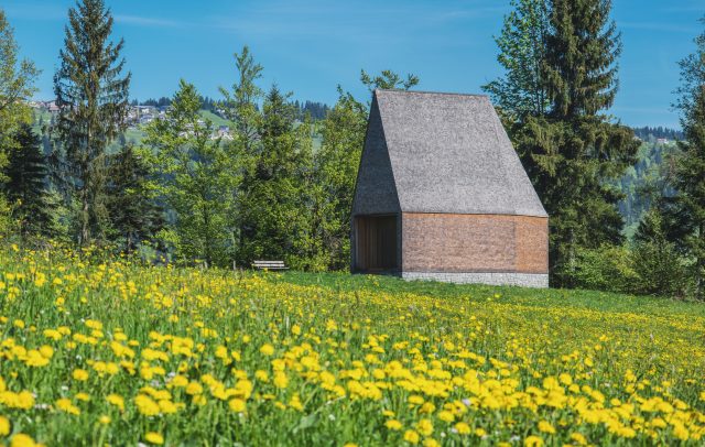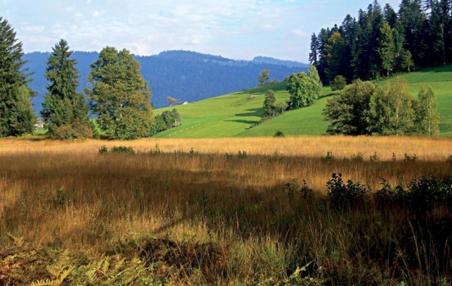
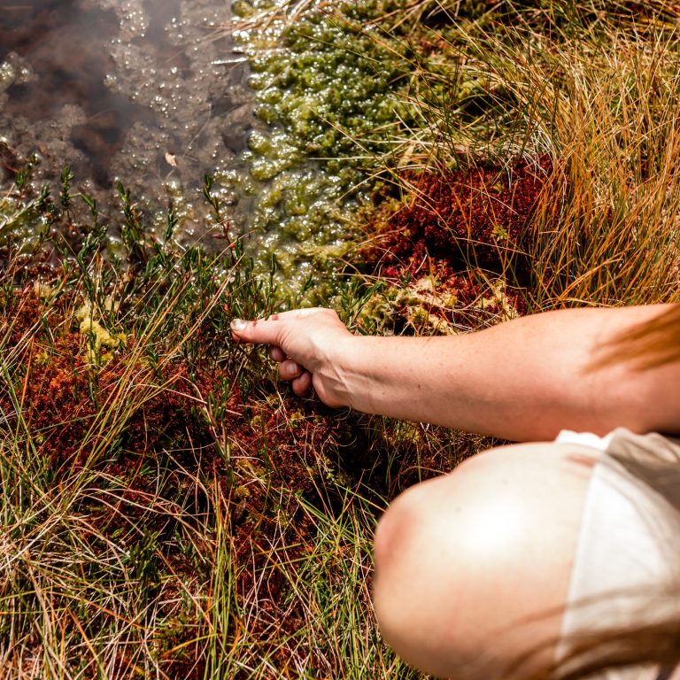
C Fohramoos upland moor © Agnes Ammann / Vorarlberg Tourismus
Nature tips Vorarlberg
The magic of moors
Neither water, land, lake, nor forest – moors are captivating and enigmatic.
They represent unique and extraordinary habitats.
Moorlands are neither water, land, lake, nor forest; they are captivating and enigmatic ecosystems that offer a unique and special habitat. Moors are often overlooked natural treasures with a unique history and significant ecological importance. They are distinguished by their high humidity and the specialised flora and fauna that have adapted to the extreme conditions.
Moors in Vorarlberg
Thanks to both its precipitation-rich climate and the effects of the last ice age, Vorarlberg holds particular importance for moorland habitats across Austria. In fact, a quarter of all moors in the country are found in Vorarlberg. The Rheintal and Walgau valleys are predominantly home to fens that function as litter meadows. Additionally, Vorarlberg boasts numerous intermediate mires and upland moors. Upland moors are characterised by their low-oxygen, nutrient-poor conditions, which give rise to unique plant species such as peat moss, cotton grass and sundew. Conversely, fens are richer in nutrients and support a more diverse range of flora. Moors are not only striking landscapes but also vital ecosystems. They offer habitats for rare and specialised species, store substantial amounts of carbon, and serve as natural water reservoirs. Despite their significance, moors are delicate ecosystems that face threats from human activities like drainage and peat extraction. Thus, the protection and restoration of these areas are of paramount importance.
How does a moor come to be?
It exists where sphagnum moss grows in plenty,
in a depression where the water gathers,
and no one spoils it.
Learn more about the unique characteristics of these habitats, discover rare plant and animal species and understand the significance of protecting moorlands. Allow yourself to be captivated by the beauty and distinctiveness of moors, and join us on a journey through one of Vorarlberg’s most enigmatic natural landscapes.
All moors in Vorarlberg are protected, so please be mindful of the following guidelines:
• Path restrictions: In moor areas, please stick to designated walking or hiking paths to prevent damage to the moorland soil and vegetation.
• Dogs on a leash: moors often provide habitat for rare ground-nesting bird species. Unleashed dogs can significantly disturb these birds and may lead to the loss of their young.
• No mountain or gravel biking: Riding bikes on moorland paths is prohibited, except on official cycling routes, as bike tires can damage the sensitive soil layers of the moors.
• Do not collect, pick or uproot plants. Moors are home to some incredibly rare plant species. Instead of picking them, it’s far more rewarding to appreciate their beauty in their natural habitat, where they thrive, rather than watching them quickly wither at home.
Nature tips in the moorland habitat
-
01 Natura 2000 area Fohramoos - A mystical moor with many stakeholders
The Fohramoos Natura 2000 conservation area, situated on the Bödele at the border between Dornbirn and Schwarzenberg, is of great importance in Europe. This area has long been a hub for diverse interest groups, including recreationists, farmers, tourists, local residents, forest managers, hunters and conservationists. Despite its varied uses, the Fohramoos conservation area remains a site of exceptional ecological value.
Tip for experiencing
Join a guided tour with Vorarlberg nature guides to delve into the unique characteristics of Vorarlberg’s moors, enriched with fascinating insights. -
02 The Sundew - a carnivorous plant in Vorarlberg's moors
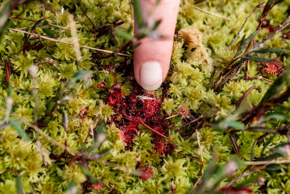
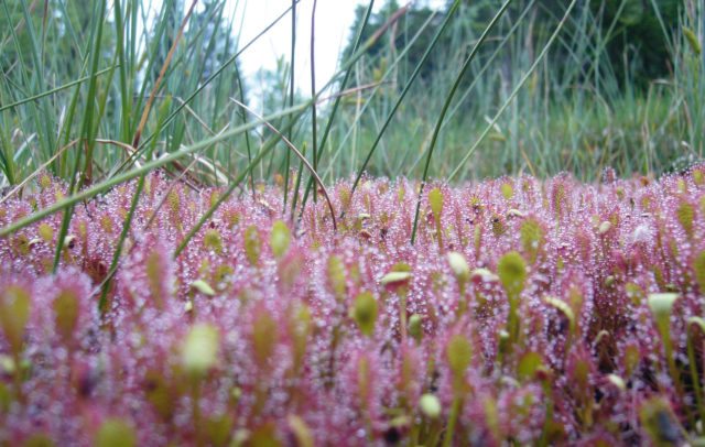
The Sundew, a fascinating carnivorous plant, thrives in the moors and wetlands of Vorarlberg. Its scientific name, Drosera, comes from the Greek word “droseros,” meaning “covered with dew.” This perfectly describes the plant’s sticky, dew-like tentacles on its leaves. Unlike conventional plants, Sundews obtain nutrients not only from the soil, but also by catching and digesting insects.This unique way of feeding makes the Sundew something very special in Vorarlberg’s plant world.
Tip for experiencing:
To spot the sundew, you can marvel at its vivid colours and sticky tentacles during the summer months. Look for it in its ideal habitat: moist, boggy areas. Important: stick to designated paths and avoid walking off-trail to protect these delicate ecosystems! -
03 Butterwort - A carnivore in the mountains
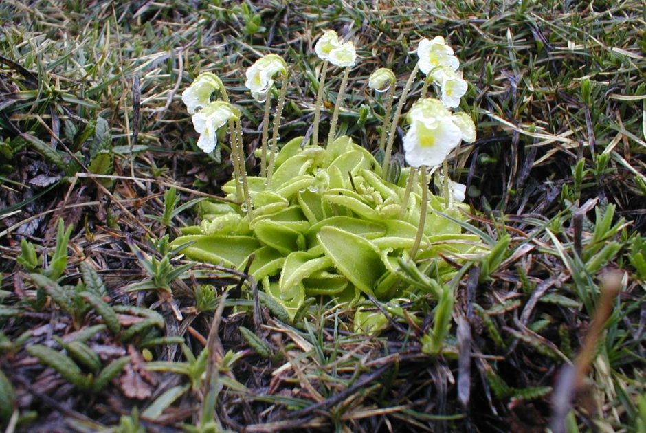
The Common Butterwort (Pinguicula vulgaris) is a remarkable survivor belonging to the butterwort family. With its thick, elongated leaves arranged in a rosette, the Butterwort captures and digests microorganisms, making it a true carnivorous plant. This ability allows Common Butterwort to thrive even in extremely nutrient-poor environments, such as fens.
Tip for experiencing:
The common butterwort can be found near springs and in fens, at spring sources, often also on loosely overgrown, moderately acidic soils. It tends to be quite scattered and is particularly found at higher altitudes.


