Webcams Current Snow Report Avalanche Report Weather & Traffic
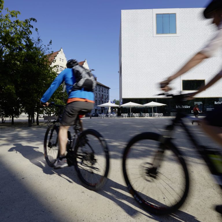
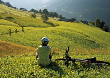
E-Bike, Bregenz am Bodensee, vorarlberg museum (c) Peter Mathis / Vorarlberg Tourismus
Easy Going

e-Mountain Bikes

Almost as good as flying

Experiencing the mountains while cycling – for a long time, this was only a good combination for the well-trained amongst us. Thanks to the e-bike, all that has changed now – it is now easier to scale greater heights and cycle through the countryside, such as on a nippy tour from Lake Constance to Piz Buin.

E-Biking in Montafon

Four e-bike rental stations and 30 charging or battery exchange stations have been set up in recent years in Montafon. Using this environmentally friendly way of transport, you can either choose your own route or take part in guided daily tours. An example of a particularly awesome trip would be the e-mountain bike tour to the far end of Gauertal valley, one of the most picturesque spots in the Alps, with the Drei Türme mountain range towering above.

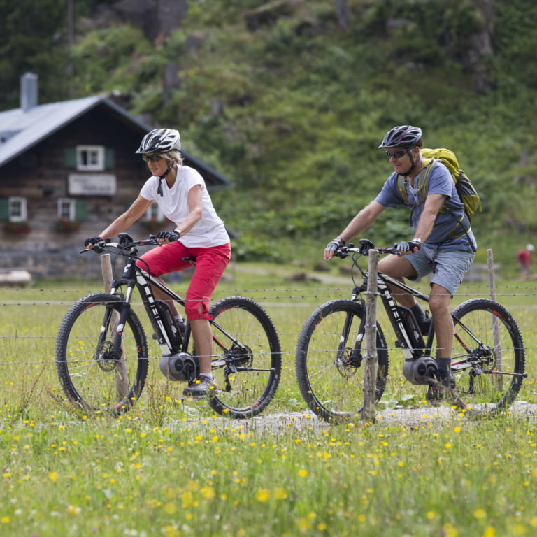
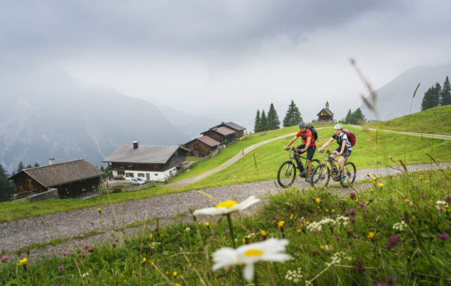
E-Bike im Kleinwalsertal, Naturgenuss Vorarlberg @ Oliver Farys / Kleinwalsertal Tourismus
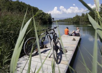
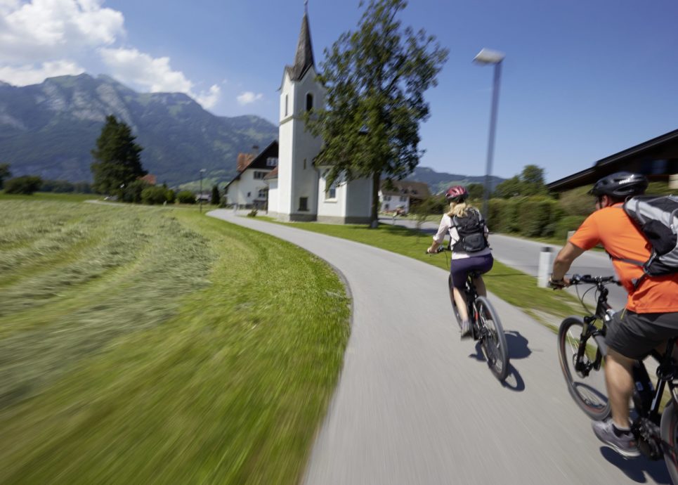
E-Bike, Vom Bodensee ins Montafon (c) Peter Mathis / Vorarlberg Tourismus

Extra tour: cyclists have it good in Vorarlberg – they are even allowed to use paths that (almost) nobody else is allowed to use

Guided E-Bike tours in Bregenzerwald
  • Guided e-bike tours are run from early July to mid-September in Damüls in Bregenzerwald on Wednesdays, with a minimum of six participants. The price is EUR 85 per person and includes a rental bike, the guide and a snack. www.damuels.travel
  • E-bike workshops and guided tours are available also at Bike School Bregenzerwald. There is a choice of several dates and outings per week. www.die-bike-schule.at (German only)
Guided E-Bike tours in the Kleinwalsertal
  • The guided e-bike beginners’ tour in the Kleinwalsertal takes participants up to a mountain shelter where, once arrived, they can regain their strengths eating Riebel, a corn meal-based sweet dish popular in Vorarlberg. Arranged from 17 May to 1 November, the tour costs EUR 23.50, including the Riebel dish and a hot drink, or EUR 59.50 (including e-bike rental).
  • On Tuesdays, you can join an e-bike tour to an organic farm in the Kleinwalsertal. Organised from 14 May to 29 October, the tour takes about 2.5 hours and costs EUR 15 per person, snacks on the farm included, plus EUR 33.50 to rent an e-bike.
    www.kleinwalsertal.com


E-Biken im Zuger Tal (c) Lech Zuers Tourismus
Play
E-Biking in the Zugertal in Lech Zürs am Arlberg

Selected E-Bike Tours

    • Wildried

      Sunshine Tour – E-Bike

      Aktivpark Montafon – Ill river trail – Vandans – St. Anton im Montafon –…

      • 43.61 km

      • 6 h

      • mittel

      Difficulty: mittel
      Distance: 43.61 km
      Ascent: 1200 m
      Descent: 1200 m
      Duration: 6 h
      Deepest point: 620 m
      Highest point: 1568 m
      Condition:

      Experience:

      Landscape:

      Sunshine Tour – E-Bike

      Aktivpark Montafon – Ill river trail – Vandans – St. Anton im Montafon – Jetzmunt…

      Start of tour

      Aktivpark Montafon, Schruns-Tschagguns

      End of tour

      Aktivpark Montafon, Schruns-Tschagguns

      Description

      Take a deep breath and enjoy the fabulous view of the Rätikon mountain peaks. At 1,100 m above sea level, Bartholomäberg is not only a paradise for holiday-makers in search of peace and tranquillity, but also boasts the most hours of sunshine in Montafon. Looking back on thousands of years of cultural development, this village is held to be the “cradle of Montafon“. The fascinating history of mining becomes alive…

      Best season
      JAN FEB MAR APR MAY JUN
      JUL AUG SEP OCT NOV DEC
      All route info
    • Vorsäß Klausberg

      Schwarzenberg | Bödele – Kehlegg – Weißenfluhalpe

      This cycle tour offers you the chance to lap Schwarzenberg’s very own mountain, the…

      • 32.94 km

      • 7 h

      • mittel

      Difficulty: mittel
      Distance: 32.94 km
      Ascent: 1451 m
      Descent: 1451 m
      Duration: 7 h
      Deepest point: 680 m
      Highest point: 1367 m
      Condition:

      Experience:

      Landscape:

      Schwarzenberg | Bödele – Kehlegg – Weißenfluhalpe

      This cycle tour offers you the chance to lap Schwarzenberg’s very own mountain, the Hochälpele.…

      Start of tour

      Villag square Schwarzenberg

      End of tour

      Villag square Schwarzenberg

      Description

      If you decide on taking this route, please note that you have a demanding tour ahead of you – the magical views you are rewarded with definitely make it worthwhile. In around 7 hours, you have an elevation gain of over 1,500 metres to overcome, making this tour unsuitable for beginners.

      The tour starts in the village center of Schwarzenberg and passes during the constant ascent the Lorenapass, the Bergvorsäß…

      Best season
      JAN FEB MAR APR MAY JUN
      JUL AUG SEP OCT NOV DEC
      All route info
    • Alpmuseum uf'm Tannberg

      Schröcken | Tannberg Tour

      Difference in altitude: 650 m

      Schröcken - Batzenalpe - Untere Auenfeldalpe - Salobersattel - Hochtannbergpass…

      • 14.98 km

      • 2.5 h

      • mittel

      Difficulty: mittel
      Distance: 14.98 km
      Ascent: 683 m
      Descent: 729 m
      Duration: 2.5 h
      Deepest point: 1261 m
      Highest point: 1795 m
      Condition:

      Experience:

      Landscape:

      Schröcken | Tannberg Tour

      Difference in altitude: 650 m

      Schröcken - Batzenalpe - Untere Auenfeldalpe - Salobersattel - Hochtannbergpass -…

      Start of tour

      Schröcken centre of town

      End of tour

      Schröcken centre of town

      Description

      This alpine yet leisurely tour is also suitable for beginners. First of all you take a forest path up to Batzenalpe and past the “uf m Tannberg” alpine museum. You now cross the romantic Auenfeld, where the Bregenzerache has its source. The stretch across the Salobersattel as far as the Hochtannbergpass is somewhat more arduous. Past picturesque Kalbelesee, you take the B road as far as Nesslegg where, following an…

      Best season
      JAN FEB MAR APR MAY JUN
      JUL AUG SEP OCT NOV DEC
      All route info
    • Der Weg im Mellental entlang des Mellenbaches

      Mellau | Mellental Tour

      Difference in altitude: 1,325 m

      Mellau - Mellental - Lindachalpe - Hauseralpe - Bleichtenalpe -…

      • 18.29 km

      • 3 h

      • mittel

      Difficulty: mittel
      Distance: 18.29 km
      Ascent: 735 m
      Descent: 752 m
      Duration: 3 h
      Deepest point: 689 m
      Highest point: 1324 m
      Condition:

      Experience:

      Landscape:

      Mellau | Mellental Tour

      Difference in altitude: 1,325 m

      Mellau - Mellental - Lindachalpe - Hauseralpe - Bleichtenalpe - Mösle…

      Start of tour

      Mellau centre of town

      End of tour

      Mellau centre of town

      Description

      The tour for beginners takes you along the Mellenbach and through a forest, making it especially advisable on hot days. Below Lindachalpe, you cross the Mellenbach, then you take a strenuous ascent to Hauseralpe. You then continue uphill to Bleichtenalpe and, a few ascents and descents later, to the Mösle. From here, you cycle rapidly into the valley as far as Mellau.
      Tip: at the start of the tour,…

      Best season
      JAN FEB MAR APR MAY JUN
      JUL AUG SEP OCT NOV DEC
      All route info
    • Auf dem Stogger Sattel

      Bizau | Around the Mittagsfluh

      Difference in altitude: 900 m

      Bizau - Schönenbach - Osterguntenalpe - Stogger Sattel - Au…

      • 29.79 km

      • 4.5 h

      • mittel

      Difficulty: mittel
      Distance: 29.79 km
      Ascent: 927 m
      Descent: 980 m
      Duration: 4.5 h
      Deepest point: 683 m
      Highest point: 1438 m
      Condition:

      Experience:

      Landscape:

      Bizau | Around the Mittagsfluh

      Difference in altitude: 900 m

      Bizau - Schönenbach - Osterguntenalpe - Stogger Sattel - Au -…

      Start of tour

      Bizau centre of town

      End of tour

      Bizau centre of town

      Description

      This tour takes you through various different landscapes and, thanks to the moderate ascents, is also suitable for beginners. From Bizau, you take the asphalted toll road through woodland just before the mountain pasture settlement of Schönenbach. Tip: it is worth taking a detour to the lovely mountain pasture settlement of Schönenbach (approx. 1 km). You now branch off to the right onto an agricultural path and constantly cycle upwards…

      Best season
      JAN FEB MAR APR MAY JUN
      JUL AUG SEP OCT NOV DEC
      All route info
    • Blick auf die Winterstaude von Sibratsgfäll

      Sibratsgfäll | Balderschwang Tour

      Difference in altitude: 700 m

      Sibratsgfäll - Rindberg - Sättele - Bodensee Hut - Lacppachalpe…

      • 24.4 km

      • 4 h

      • mittel

      Difficulty: mittel
      Distance: 24.4 km
      Ascent: 690 m
      Descent: 803 m
      Duration: 4 h
      Deepest point: 876 m
      Highest point: 1432 m
      Condition:

      Experience:

      Landscape:

      Sibratsgfäll | Balderschwang Tour

      Difference in altitude: 700 m

      Sibratsgfäll - Rindberg - Sättele - Bodensee Hut - Lacppachalpe -…

      Start of tour

      Sibratsgfäll centre of town

      End of tour

      Sibratsgfäll centre of town

      Description

      The first section takes you through the alpine terrain of Rindberg. Then it steadily ascends as far as the Sättele, where you are rewarded with a stunning view of the mighty Gottesackerwände. Going slightly downhill, you then take an agricultural path to Lake Constance hut. From there, follow the path through alpine terrain and meadows as far as Gerisgschwend. You then take the main street and branch off towards Sibratsgfäll.…

      Best season
      JAN FEB MAR APR MAY JUN
      JUL AUG SEP OCT NOV DEC
      All route info
    • Straussberg am Hörnlepass

      Across the border

      Varied mountain bike tour through two countries: Stunning scenery on the way to Oberstdorf…

      • 28.22 km

      • 4 h

      • schwer

      Difficulty: schwer
      Distance: 28.22 km
      Ascent: 966 m
      Descent: 966 m
      Duration: 4 h
      Deepest point: 782 m
      Highest point: 1403 m
      Condition:

      Experience:

      Landscape:

      Across the border

      Varied mountain bike tour through two countries: Stunning scenery on the way to Oberstdorf and…

      Start of tour

      Riezlern

      End of tour

      Riezlern

      Description

      Along the scenic panorama path via Söllereck to Oberstdorf. Wonderful views over Allgäu and Kleinwalsertal are guaranteed. Head down to Oberstdorf and from there along the Breitach river back to Kleinwalsertal.

      Best season
      JAN FEB MAR APR MAY JUN
      JUL AUG SEP OCT NOV DEC
      All route info
    • Bike Bärgunttal

      Small bike tour into the Bärgunttal

      Easy bike tour with refreshment stops on two pleasure cabins

      • 4.22 km

      • 0.8 h

      • leicht

      Difficulty: leicht
      Distance: 4.22 km
      Ascent: 208 m
      Descent: 153 m
      Duration: 0.8 h
      Deepest point: 1221 m
      Highest point: 1405 m
      Condition:

      Experience:

      Landscape:

      Small bike tour into the Bärgunttal

      Easy bike tour with refreshment stops on two pleasure cabins

      Start of tour

      Baad

      End of tour

      Baad

      Description

      For this tour, you should definitely visit at least one of the two huts along the way. If you bring a little more time, the inn keeper tell you something about their philosophy of alpine farming: where the fresh products of meat and milk come from, why a close relationship with their producers is important and what the award as an Austrian “pleasure hut” means. And all this with a…

      Best season
      JAN FEB MAR APR MAY JUN
      JUL AUG SEP OCT NOV DEC
      All route info
    • Mountainbiken und Wandern im Brandnertal (Symbolbild)

      Small Brandnertal Round | Brand-Bürserberg

      Easy MTB tour with start in Brand, which is also very suitable for beginners.

      • 23.56 km

      • 3.5 h

      • leicht

      Difficulty: leicht
      Distance: 23.56 km
      Ascent: 939 m
      Descent: 939 m
      Duration: 3.5 h
      Deepest point: 839 m
      Highest point: 1676 m
      Condition:

      Experience:

      Landscape:

      Small Brandnertal Round | Brand-Bürserberg

      Easy MTB tour with start in Brand, which is also very suitable for beginners.

      Start of tour

      Dorfbahn cableway valley station

      End of tour

      Dorfbahn cableway valley station

      Description

      This easy MTB tour starts at the Dorfbahn valley station and leads via the Eggaweg up to the mountain station of the Dorfbahn. Alternatively, this section of the route can also be conquered with the Dorfbahn. From the Dorfbahn mountain station, head towards the Innere Parpfienzalpe and continue along the Natursprünge trail to the Parpfienzsattel. From the Parpfienzsattel continue cycling towards the Burtschasattel. The tour then leads past the Frööd…

      Best season
      JAN FEB MAR APR MAY JUN
      JUL AUG SEP OCT NOV DEC
      All route info
    • Mountainbiken im Brandnertal (Symbolbild)

      Small tour around Loischkopf | Bürserberg

      This easy mountainbike round trip - rideable for almost everyone - inspires with great…

      • 13.76 km

      • 2.3 h

      • leicht

      Difficulty: leicht
      Distance: 13.76 km
      Ascent: 511 m
      Descent: 511 m
      Duration: 2.3 h
      Deepest point: 1161 m
      Highest point: 1676 m
      Condition:

      Experience:

      Landscape:

      Small tour around Loischkopf | Bürserberg

      This easy mountainbike round trip - rideable for almost everyone - inspires with great views…

      Start of tour

      Parking at Einhornbahn II valley station

      End of tour

      Parking at Einhornbahn II valley station

      Description

      The MTB tour starts directly at the valley station of Einhornbahn II on the high plateau Tschengla, Bürserberg. Bikers with better fitness start via the forest path to the top station of the Einhornbahn II. Those who prefer a more leisurely approach can overcome the first vertical meters with the Einhornbahn II and thus save a few vertical meters. From the mountain station of the Einhornbahn II the tour takes…

      Best season
      JAN FEB MAR APR MAY JUN
      JUL AUG SEP OCT NOV DEC
      All route info
    • Mountainbiken im Brandnertal (Symbolbild)

      Loischkopf Tour | Brand-Bürserberg-Bürs

      This scenic mountainbike tour offers a fantastic panoramic view over the Walgau, the Alpine…

      • 22.61 km

      • 5.5 h

      • mittel

      Difficulty: mittel
      Distance: 22.61 km
      Ascent: 957 m
      Descent: 953 m
      Duration: 5.5 h
      Deepest point: 837 m
      Highest point: 1785 m
      Condition:

      Experience:

      Landscape:

      Loischkopf Tour | Brand-Bürserberg-Bürs

      This scenic mountainbike tour offers a fantastic panoramic view over the Walgau, the Alpine town…

      Start of tour

      Bürserberg church

      End of tour

      Bürserberg church

      Description

      The drive to Loischkopf is relatively easy and leads mostly on roads and forest roads through the Brandnertal. The mountainbike tour leads from the church in Bürserberg in the direction of Brandnertalstraße. Before you reach Brandnertalstraße, keep right and drive uphill on a narrow road in the direction of Tschengla. At the parking lot of Einhornbahn II, turn left before the bridge to Kohlgrubweg. After approx. 800m continue on the…

      Best season
      JAN FEB MAR APR MAY JUN
      JUL AUG SEP OCT NOV DEC
      All route info
    • Kurze Pause einlegen bei der MTB-Runde (Symbolbild)

      Nenzingerberg Tour | Bürserberg-Nenzing

      This scenic tour with views of the Rhine Valley inspires numerous mountain bikers!

      • 36.26 km

      • 5.5 h

      • schwer

      Difficulty: schwer
      Distance: 36.26 km
      Ascent: 1292 m
      Descent: 1308 m
      Duration: 5.5 h
      Deepest point: 518 m
      Highest point: 1721 m
      Condition:

      Experience:

      Landscape:

      Nenzingerberg Tour | Bürserberg-Nenzing

      This scenic tour with views of the Rhine Valley inspires numerous mountain bikers!

      Start of tour

      Alpe Rona in Bürserberg

      End of tour

      Alpe Rona in Bürserberg

      Description

      This tour starts at the Alpe Rona on the Tschengla high plateau. From there head west on the Plandedonweg via the Güterweg to Nenzing. In Nenzing follow the Meng to the left in the direction of Stellfeder or Nenzinger Himmel. In Stellfeder drive past the toll house in the direction of Nenzinger Himmel. After about 600 m turn left and drive uphill in many bends towards Nenzingerberg Alpe. From there…

      Best season
      JAN FEB MAR APR MAY JUN
      JUL AUG SEP OCT NOV DEC
      All route info
    • Mountainbiken im Brandnertal (Symbolbild)

      Brandnertal Round Trip | Brand-Bürserberg-Bürs

      Discover and experience the Brandnertal on a scenic MTB tour!

      • 31.4 km

      • 6.5 h

      • schwer

      Difficulty: schwer
      Distance: 31.4 km
      Ascent: 1224 m
      Descent: 1312 m
      Duration: 6.5 h
      Deepest point: 564 m
      Highest point: 1676 m
      Condition:

      Experience:

      Landscape:

      Brandnertal Round Trip | Brand-Bürserberg-Bürs

      Discover and experience the Brandnertal on a scenic MTB tour!

      Start of tour

      Bürs Ortsmitte (town center)

      End of tour

      Bürs Ortsmitte (town center)

      Description

      This challenging MTB tour starts in Bürs and leads along the country road towards Bürserberg/Brand. At the junction with the main road, cross it and ride on the old road via the district of Außerberg in the direction of Bürserberg. Once you reach Außerberg, follow the signposted MTB route in the direction of Hochplateau Tschengla or to the P3 car park. At the Tschengla plateau, take the Burtschaweg trail past…

      Best season
      JAN FEB MAR APR MAY JUN
      JUL AUG SEP OCT NOV DEC
      All route info
    • Radweg entlang der Ill auf Höhe Nüziders

      Walgau cycle path | Walgau

      The Walgau cycle tour along the River Ill is perfect for connoisseurs.

      • 49.87 km

      • 3.5 h

      • leicht

      Difficulty: leicht
      Distance: 49.87 km
      Ascent: 242 m
      Descent: 236 m
      Duration: 3.5 h
      Deepest point: 459 m
      Highest point: 561 m
      Condition:

      Experience:

      Landscape:

      Walgau cycle path | Walgau

      The Walgau cycle tour along the River Ill is perfect for connoisseurs.

      Start of tour

      Bludenz

      End of tour

      Feldkirch

      Description

      Two cycle paths lead through the Walgau from the Alpine town of Bludenz. One route usually remains to the right of the Ill and leads through riparian forests and meadows in Ludesch, Thüringen, Bludesch, Schlins and Satteins to Frastanz. The other one always stays near the left bank of the Ill and leads through the Tschalenga Au to Nenzing and through the Galina forest with its many quarry lakes to…

      Best season
      JAN FEB MAR APR MAY JUN
      JUL AUG SEP OCT NOV DEC
      All route info
    • Radweg auf Höhe St. Anton im Montafon mit Rastplatz

      Montafon cycle path

      Leisurely cycle tour from Bludenz, always along the Ill, into the Montafon.

      • 62.4 km

      • 4.5 h

      • leicht

      Difficulty: leicht
      Distance: 62.4 km
      Ascent: 532 m
      Descent: 532 m
      Duration: 4.5 h
      Deepest point: 560 m
      Highest point: 1071 m
      Condition:

      Experience:

      Landscape:

      Montafon cycle path

      Leisurely cycle tour from Bludenz, always along the Ill, into the Montafon.

      Start of tour

      Bludenz

      End of tour

      Partenen

      Description

      From Bludenz it goes first along the Ill to Brunnenfeld. From the junction at the Bludenz-Montafon motorway exit, take secondary roads through Lorüns, then briefly along the main road and then shadily along the Ill into the valley. You pass Vandans and the large compensating basins at Rodund power station and arrive at the beginning of Schruns and Tschagguns. The cycle path remains very close to the Ill. Shortly before…

      Best season
      JAN FEB MAR APR MAY JUN
      JUL AUG SEP OCT NOV DEC
      All route info
    • Auf der Schotterstraße geht es ab Laz bergwärts Richtung Muttersberg

      Bludenz – Muttersberg – Alpe Els | Bludenz

      Great MTB tour to the local mountain of Bludenz and Nüziders and further to…

      • 26.67 km

      • 4.5 h

      • mittel

      Difficulty: mittel
      Distance: 26.67 km
      Ascent: 1094 m
      Descent: 1094 m
      Duration: 4.5 h
      Deepest point: 663 m
      Highest point: 1599 m
      Condition:

      Experience:

      Landscape:

      Bludenz – Muttersberg – Alpe Els | Bludenz

      Great MTB tour to the local mountain of Bludenz and Nüziders and further to Alpe…

      Start of tour

      Muttersbergbahn valley station or mountain station

      End of tour

      Muttersbergbahn valley station

      Description

      The Muttersberg offers a magnificent view over the Walgau, the Brandnertal and far into the Montafon. The destination of this tour, the Alpe Els, lies below the well-known Gamsfreiheit, which offers a fantastic view of the Klostertal and the Rote Wand.

      The start of this tour is at the valley station of the Muttersberg cable car. From there briefly downhill and immediately right over the bridge up towards Laz.…

      Best season
      JAN FEB MAR APR MAY JUN
      JUL AUG SEP OCT NOV DEC
      All route info
    • Der Klostertal Radweg führt immer entlang der Alfenz hinein ins Klostertal

      Klostertal Bike Trail | Klostertal

      Beautiful bike path through wooded areas and across meadows and partly on the road…

      • 47.37 km

      • 3.8 h

      • leicht

      Difficulty: leicht
      Distance: 47.37 km
      Ascent: 515 m
      Descent: 515 m
      Duration: 3.8 h
      Deepest point: 560 m
      Highest point: 1074 m
      Condition:

      Experience:

      Landscape:

      Klostertal Bike Trail | Klostertal

      Beautiful bike path through wooded areas and across meadows and partly on the road from…

      Start of tour

      Bludenz

      End of tour

      Klösterle am Arlberg

      Description

      From Bludenz, the route first goes along the Ill River to Brunnenfeld. From the traffic junction at the Bludenz-Montafon freeway exit, the Klostertal cycle path leads into the valley on the shady side along the Alfenz river. You pass Stallehr and ride along the valley floor past Außer- and Innerbraz. At Dalaas, the valley becomes so narrow that the bike path briefly leads onto the village street, which is little…

      Best season
      JAN FEB MAR APR MAY JUN
      JUL AUG SEP OCT NOV DEC
      All route info
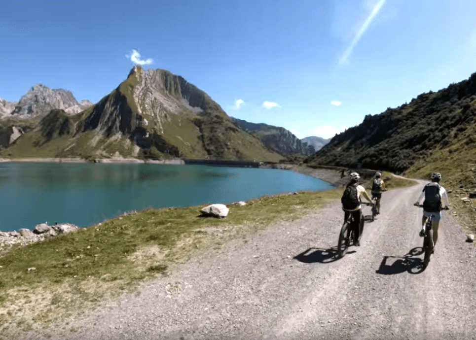
    • Spullersee

      Spullersee Tour

      A long but moderately difficult mountain bike tour with incredible views and plenty of…

      • 25.36 km

      • 2.5 h

      • mittel

      Difficulty: mittel
      Distance: 25.36 km
      Ascent: 577 m
      Descent: 576 m
      Duration: 2.5 h
      Deepest point: 1434 m
      Highest point: 2011 m
      Condition:

      Experience:

      Landscape:

      Spullersee Tour

      A long but moderately difficult mountain bike tour with incredible views and plenty of resting…

      Start of tour

      Hike starting point Rüfiplatz

      End of tour

      Hike starting point Rüfiplatz

      Description

      A long mountain bike tour starting in Zug near the toll road. Along the asphalted road to the Älpele inn, uphill to the Spullersee dam. You go around the lake, then uphill towards Ravensburger hut. Afterwards you will reach the Alpe Brazer Staffel. Continue uphill to the Stierlochjoch. From here it goes through the serpentines downhill towards Zug until you reach the fish pond.

      Best season
      JAN FEB MAR APR MAY JUN
      JUL AUG SEP OCT NOV DEC
      All route info

Also interesting: