Hiking Trail | Hiking Trail
Schwarzenberg I Bödele hike through Fohramoos


-
Höhenprofil
The vegetation typical of high moors presents itself along this trail. Much of the route passes through the shady bog forest.
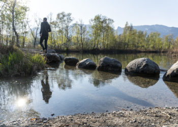
The Fohramoos, a high moorland with bog forests and a small artificial lake, stretches across the Bödele above Schwarzenberg. Birch, pine and upright growing mountain pine provide shade on hot days. It’s quite possible to see frogs and dragonflies along the way.
It’s a good idea to walk barefoot on parts of this trail and feel the moor between your toes. An experience that kids also always enjoy.
Presented by: Bregenzerwald
Author: Schwarzenberg Tourismus l www.schwarzenberg.at -
Difficulty: leicht Condition: Experience: Landscape: Altitude: Best season: JAN FEB MAR APR MAY JUN JUL AUG SEP OCT NOV DEC Safety instructions: EMERGENCY CONTACTS
140 Alpine emergency Austria
144 Alpine emergency Vorarlberg
112 Euro-emergency call
www.vorarlberg.travel/sicherheitstipps
-
Directions
Signposted throughout and marked with the colors yellow-white or white-red-white.
At the Bödele pass, follow the markings in the direction of “Bödelesee Rundweg” – “Fohramoos”. After the Berghof Fetz and the Bödele chapel, you will soon reach the lake shore and turn left there. So you take the idyllic lake tour with you in passing, so to speak. At the end of the lake, turn left again at the sign and follow the gravel road in the direction of “Fohramoos” for about 700m. Here turn left again at the signpost (Fohramoos). Attention! Do not follow the road to the holiday home area, but follow the white-red-white markings in the forest to the next signpost. This shows you to the left again in the direction of “Oberlose” – “Bödele”.
In the following section of the path you now cross part of the “Fohramoos” nature reserve and then come back to a road (signpost). Follow this to get to the starting point.
Waypoints


